.png)


 Return
|
Ref ID: 3TM2016/2122 | Posted On: 22-06-2017 | Updated on: 22-06-2017
|
|


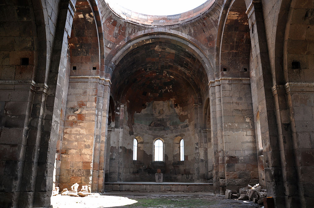
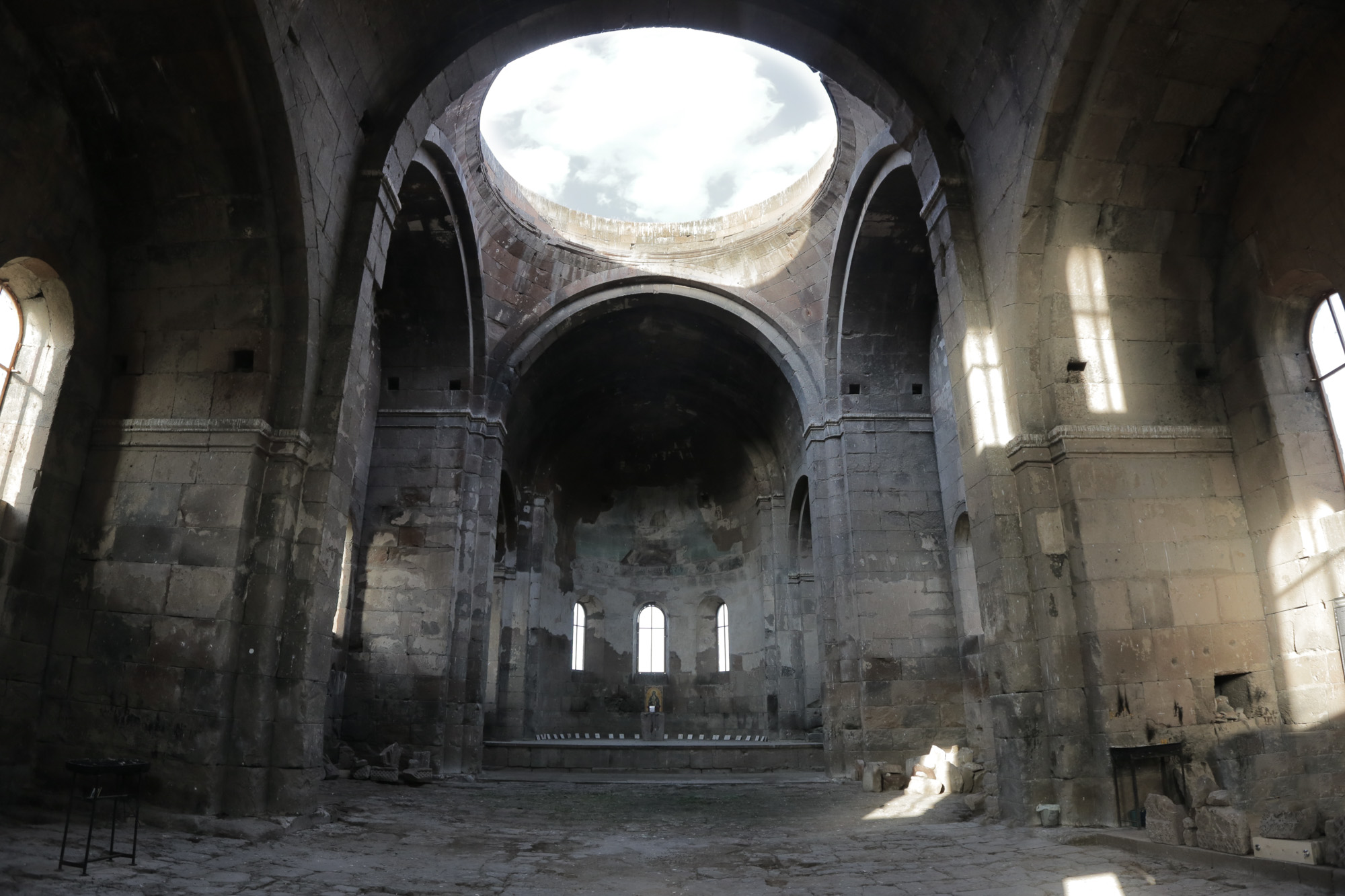
Aruchavank Cathedral
| Aruchavank Արուճավանք |
|
|---|---|
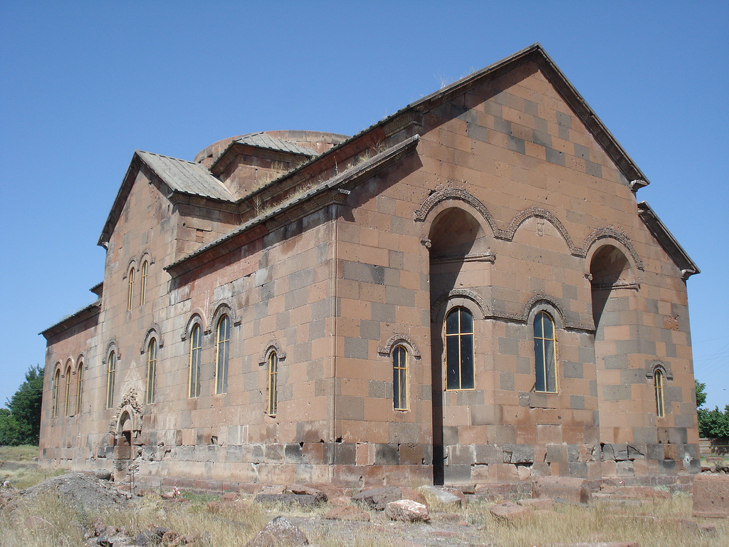
 The Church of Aruch with collapsed dome, 2008. The Church of Aruch with collapsed dome, 2008. |
|
| Basic information | |
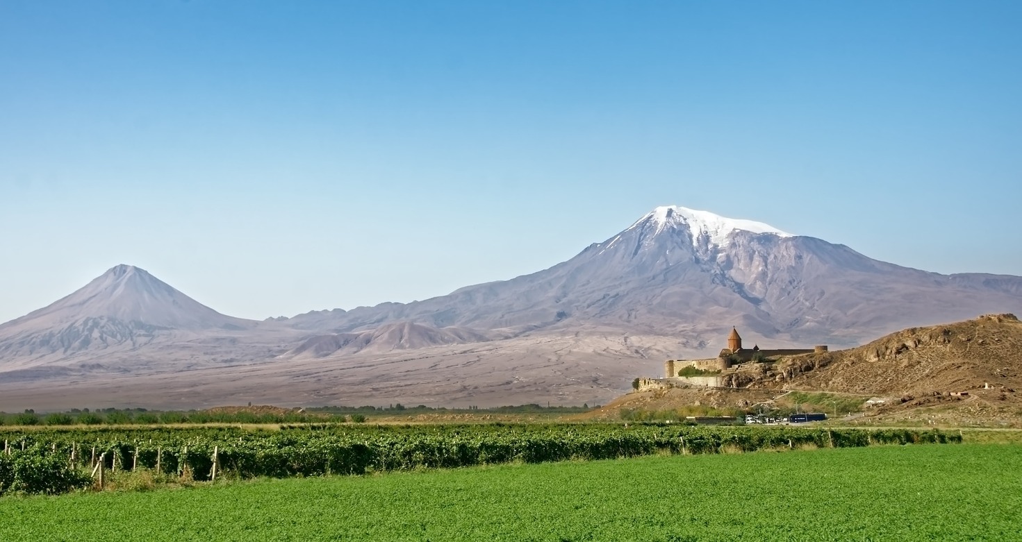
| Location | Aruch, Aragatsotn Province, |
| Geographic coordinates | 40.289078°N 44.080572°ECoordinates: 40.289078°N 44.080572°E |
| Affiliation | Armenian Apostolic Church |
| Architectural description | |
| Architectural type | Domed hall single-nave basilica |
| Architectural style | Armenian |
| Completed | 660s |
| Dome(s) | 1 (collapsed) |

History
Aruch became a citadel in the later Middle Ages. The ruins of the palace were excavated in 1947 and between 1950 and 1952. The remains of two structures of the palace complex of Prince Grigor Mamikonian were found on the south side of the church of St. Grigor.
There is some controversy as to the exact date of the completion of this church because of the reference in the inscription to the reign of the Byzantine Emperor Constantine III (641). According to Marr, Haroutyunyan, and Manutcheryan, it is believed that there is confusion with the emperor Constans II (641-668).[2]
The church was restored during 1946-1948, except for the drum and cupola. The church had been extensively damaged by earthquakes and possibly by its use as a fortress in the 16th and 17th centuries (Oramanian, 1948).[3]
Architecture
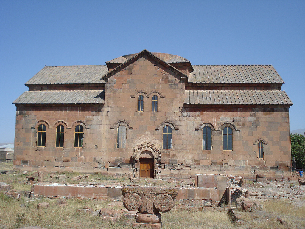
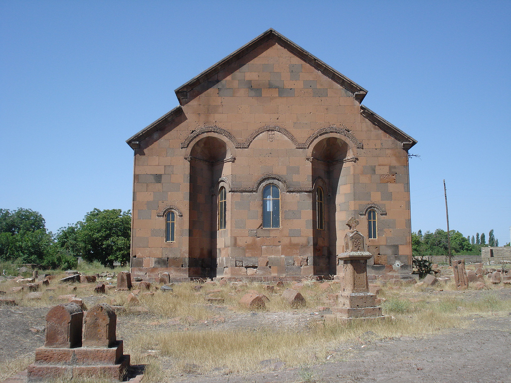
Aruchavank is a domed hall single-nave basilica type structure. Its drum and drum have since collapsed prior to restoration efforts.Gallery

Map of Aruchavank and surrounding region.

South façade of the cathedral.

Apse of Aruch cathedral.

Inscription on the tympanum over the main portal.

One of two capitals from the ruins just outside the church.
Additional Information
Facilities
Contact information
.jpg)