Return
Gastronomy » History and figures historic
|
Ref ID: 1AH2017/3064 | Posted On: 30-09-2017 | Updated on: 30-09-2017
|
|
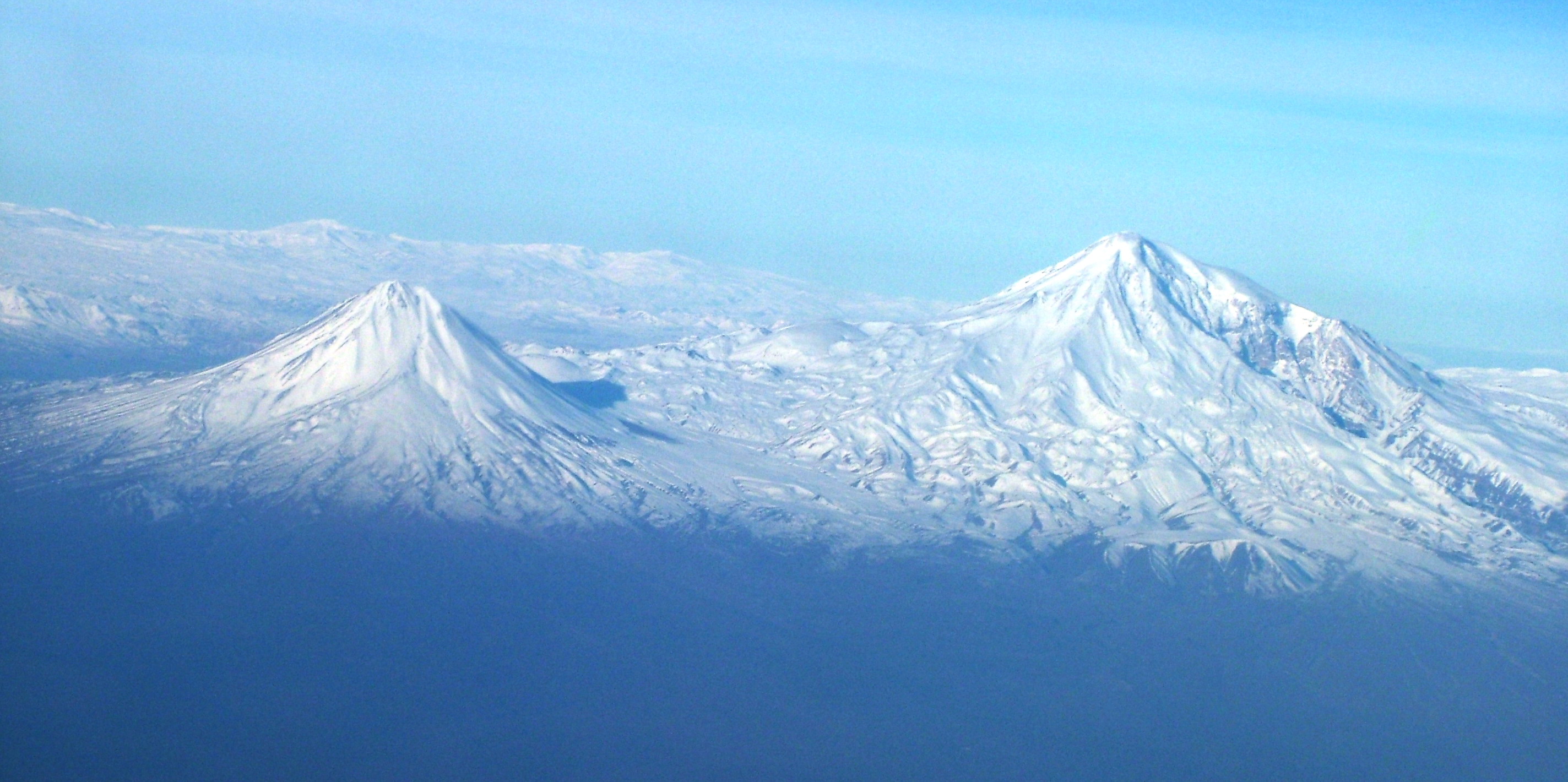
Araxes River
Names
In the classical antiquity, the river was known to the Greeks as Araxes (Greek: Αράξης). Its modern Armenian name is Araks or Arax (Armenian: Արաքս). Historically, it was known as Yeraskh (Classical Armenian: Երասխ). Its Old Georgian name is Rakhsi (რახსი). In Azerbaijani language, the river name is Araz. In Persian it is ارس (Aras) and in Turkish it is Aras.
Description
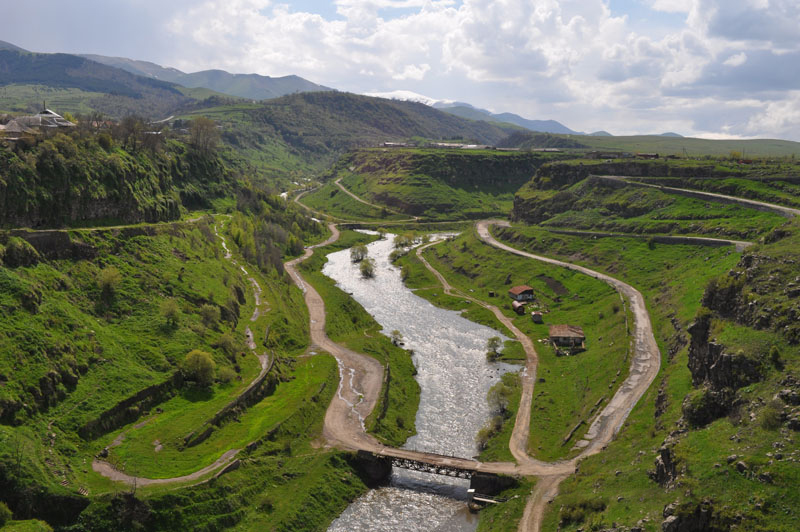
The Aras rises near Erzurum, Turkey. It meets with the Akhurian River, southeast of Digor, flows along the closed Turkish-Armenian border, and then near a corridor that connects Turkey to Azerbaijan's Nakhchivan exclave. It then flows along the Iranian-Armenian and the Iranian-Azerbaijan border.[citation needed]
The Zangmar, Sariso, Ghotour River, Hajilar River, Kalibar River, Ilghena River, Darreh River and Balha River are the major tributaries of the Aras from the south (right). In Turkey, the Ghareso river flows in on the left side. The Akhurian, Metsamor, Hrazdan, Azat, Vedi, Arpa, Vorotan, Voghdji and Meghri rivers flow in from the Armenian north side (left). The Khachin River, Okhchi River, Kuri River and Kandlan River flow in from the Azerbaijan north side (left).[1]
Etymology and history
_Empire_1747_map.JPG)
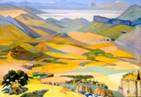
Aras River in the Persian Empire in a map from 1747
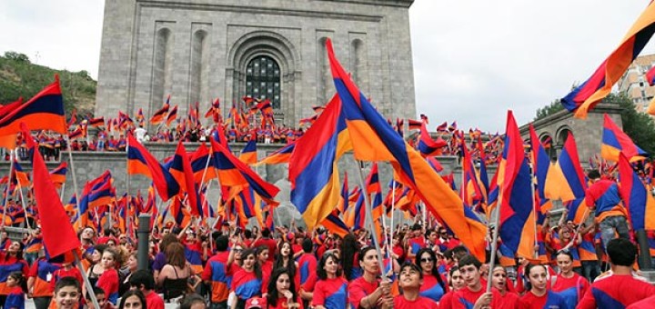
In Armenian tradition, the river is named after Arast, a great-grandson of the legendary Armenian patriarch Haik.[2] The name was later Hellenized to Araxes and was applied to the Kura-Araxes culture, a prehistoric people which flourished in the valleys of the Kura and Aras. The river is also mentioned in the last chapter of the Aeneid VIII by Virgil, as "angry at the bridge", since the Romans built a bridge over it, so that it is thereby conquered. The river Aras has been associated with the biblical rivers Gihon and Pishon.[3] Robert H. Hewsen described Aras as the only "true river" of Armenia and as "Mother Araxes," a symbol of pride to the Armenian people.[4]
In modern history, the Aras gained significance as a geographic political boundary. Under the terms of the Treaty of Gulistan and the Treaty of Turkmenchay, the river was chosen as the border limit between the Russian Empire and Qajar Iran, as the latter was forced to cede its Caucasian territories to Russia.[5] Iran and the Soviet Union later built the Aras Dam on the Aras in the Poldasht area creating the Aras Reservoir. The Meghri Dam is under construction near the Armenian town of Meghri.[6]
Iğdır Aras Valley Bird Paradise
In 2006, a bird research and education center was established by KuzeyDoğa, a Turkish non-governmental organization for nature conservation, in the Aras Valley at the village Yukarı Çıyrıklı, in the Tuzluca district of Iğdır Province, Turkey. It is one of Turkey's two bird ringing stations that remain active yearly.[7] Between 2006 and 2015, more than 65,000 birds of 198 species were ringed and 258 bird species were observed at this station. Fifty-five percent of the 471 bird species found in Turkey are recorded at this wetland, making it Turkey's most important wetland for birds. The number of ringed and observed 258 bird species comprises 85 percent of the 303 bird species at Iğdır Province. Seven new bird species were observed during the bird ringing activities in 2012 alone, including the raptor Shikra or Little Banded Goshawk (Accipiter badius), which was new to Turkey's avifauna.[8][9]
University of Utah biology professor Çağan Şekercioğlu, president of the KuzeyDoğa Society, appealed to the Ministry of Forest and Water Management to drop the Tuzluca Dam project, which would destroy the wetland harboring bird wildlife in the Aras Valley.[8][10] In 2013, the ministry granted the site the highest level of conservation status (Nature Conservation Area).
| Aras | |
|---|---|
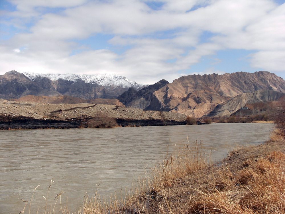
 The Aras river, Nakhchivan, Azerbaijan to the right and Iran to the left. The Aras river, Nakhchivan, Azerbaijan to the right and Iran to the left. |
|
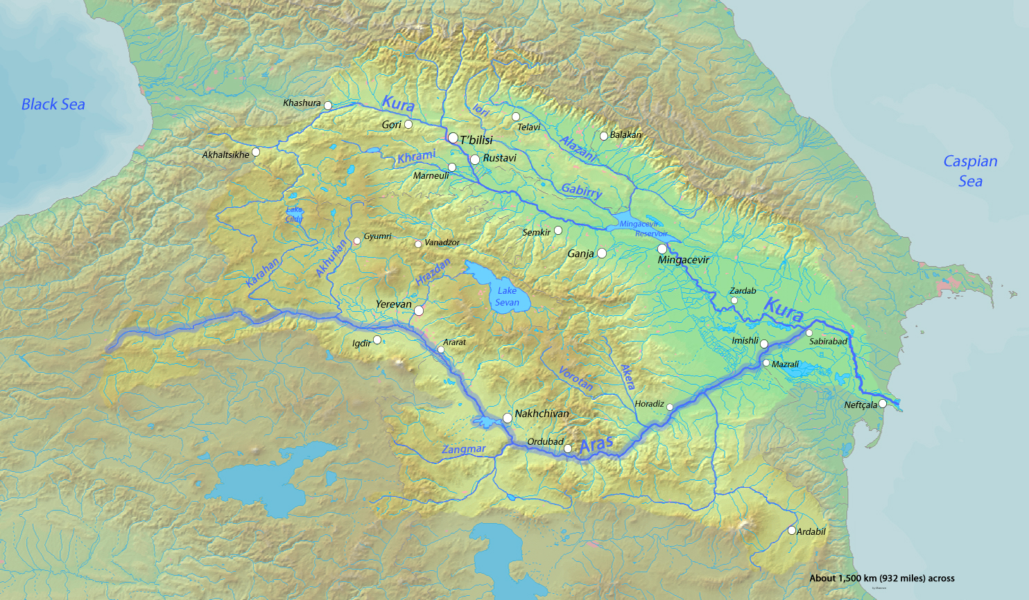
 Aras River highlighted on a map of the Kura River watershed Aras River highlighted on a map of the Kura River watershed |
|
| Country | Turkey, Armenia, Iran, Azerbaijan |
| Basin features | |
| Main source | Erzurum Province, Turkey |
| River mouth | Kura river |
| Basin size | 102,000 km2 (39,000 sq mi) |
| Physical characteristics | |
| Length | 1,072 km (666 mi) |
| Discharge |
|
Gallery
The Aras highlighted on a map of the Kura River watershed.

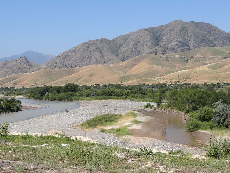
The Aras taken in the Poldasht District.

The Aras, taken from Iğdır.

Photograph of the Aras from space.

The Araz near Joulfa.
.jpg)
Aras River with Iran to the left and Azerbaijan to the right.
Click on photo to view full image or click to watch video.
.jpg)